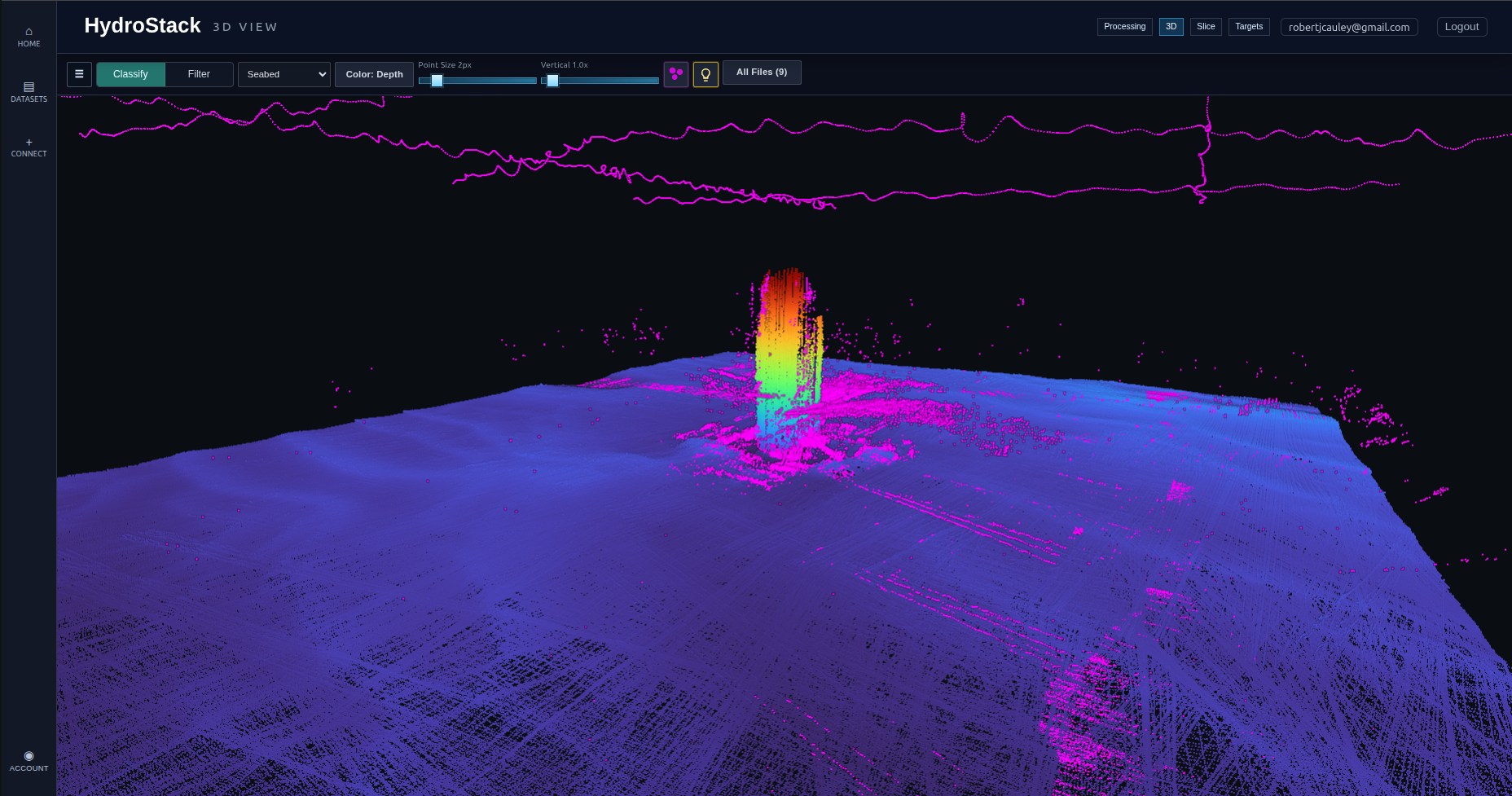
Sounding cleanup
MBES classification
Automatically classify noisy MBES soundings and surface context so teams spend less time on repetitive cleanup.
Process, review, and deliver MBES data from one shared browser workspace.
Product workflow
Upload, process, inspect, and export MBES datasets without moving between disconnected tools. Because HydroStack runs in the browser, teams can get started without downloading or installing specialist software. Supported inputs include .las, .laz, .gsf, .fau, ASCII, .s7k, .hsx, .3dss, .xtf, .kmall, and .all files.
Browser workflow
Upload survey data, run cloud processing, inspect results, and move toward delivery from one shared browser workspace.
AI processing
HydroStack applies AI where it removes real production bottlenecks: classifying MBES points, detecting review targets, and predicting correction signals from the survey data itself.
Automatically classify noisy MBES soundings and surface context so teams spend less time on repetitive cleanup.
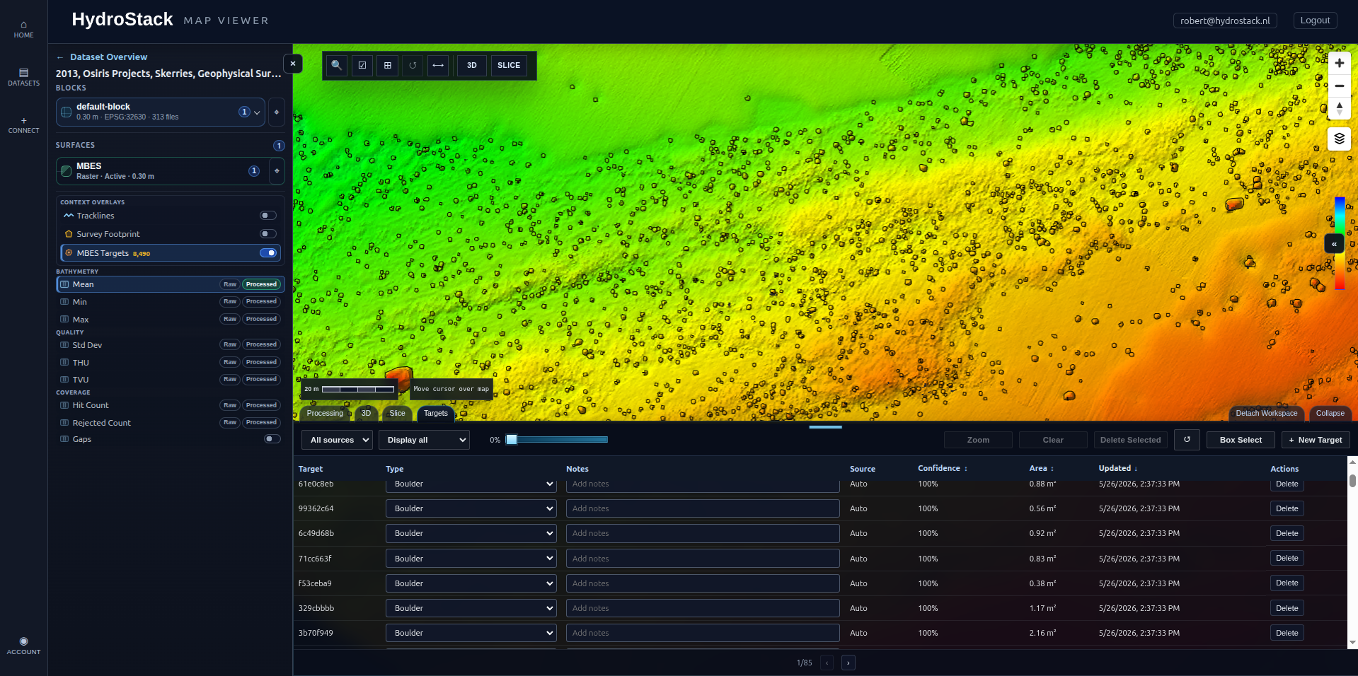
Surface likely targets for faster review and handoff inside the same browser workspace.
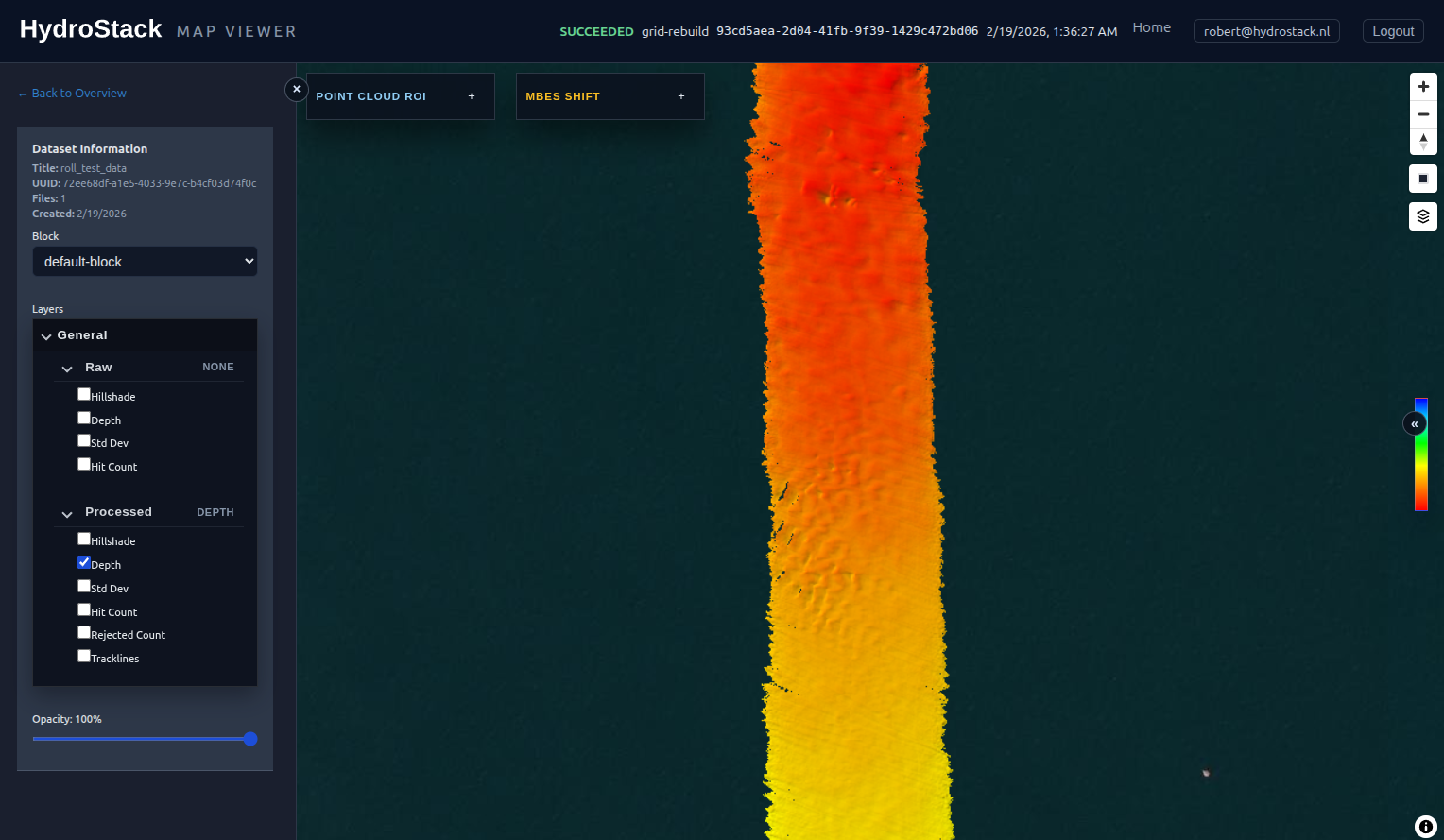
Predict roll behaviour directly from soundings to reduce manual correction and improve downstream surfaces.
A SaaS workspace for MBES-heavy campaigns: open large datasets, process them, review surfaces, and export deliverables.
Work with tiled browser surfaces, blocks, and map layers.
Trigger denoise, gridding, tiling, and export jobs.
Check bathymetry, quality, coverage, and tracklines.
Export GeoTIFFs, GSF, and ASCII files with processed results.
Move from the map to slice profiles and 3D point clouds when a dataset needs closer inspection.
Track status, compare outputs, and generate downloads from the dataset workspace.
HydroStack moves hydrographic processing out of disconnected desktop tools and file transfer loops. Teams work from the same dataset, use cloud processing when needed, and review the results in purpose-built map, slice, and point cloud views.
Upload, process, and review large survey datasets without relying on one workstation
Project teams can work from one tenant workspace with controlled account access
Generate exports from the browser as project requirements change
HydroStack is for teams that need direct access to large marine datasets, processing status, visual review tools, and exportable products.
Upload survey lines, process datasets, and review deliverables in one browser workspace
Inspect seabed conditions, cable routes, foundations, and asset survey data faster
Maintain repeatable processing and review workflows for critical marine areas
Access processed survey data, visual checks, and exports without specialist desktop tools
FAQ
HydroStack moves processing away from a single workstation and onto dedicated infrastructure. Teams can upload, process, inspect, and export data in one browser-based workflow, reducing handoffs and time spent moving between tools.
Processing time depends on the dataset size, file format, and selected workflow. We can benchmark HydroStack with one of your representative datasets so you can compare it directly with your current process.
No. HydroStack runs in the browser, so your team can process and review survey data without installing specialist software or tying up a high-powered workstation.
HydroStack supports LAS, LAZ, GSF, FAU, ASCII, S7K, HSX, 3DSS, XTF, KMALL, and ALL files. Contact us if your workflow uses another format.
Survey data is processed and stored on HydroStack-owned servers located in the European Union. We operate the infrastructure ourselves, giving us direct control over where customer data is stored and processed.
Yes. We can run a pilot using a representative dataset so you can evaluate processing speed, output quality, and how HydroStack fits your existing workflow.
Let's discuss how HydroStack can transform your workflow